Met Office Slow-Moving Thunderstorm Warning: Six-Hour Deluge Raises Heavy Flooding Risk

Mike Show
June 30, 2026
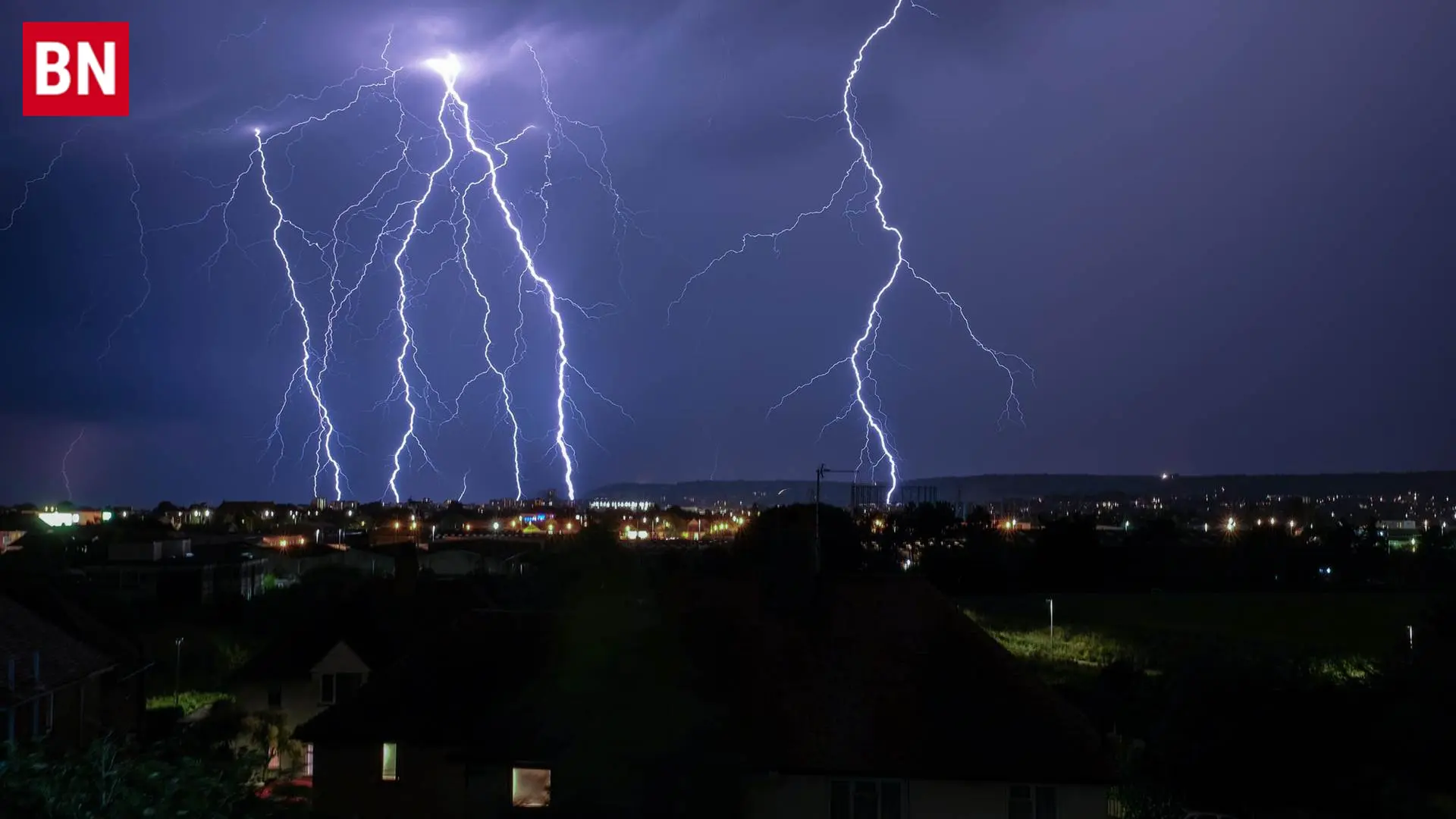
Unsettled weather patterns across the United Kingdom have triggered fresh urgent safety alerts from national forecasters. On Tuesday afternoon, meteorologists officially declared a yellow weather warning due to highly unstable atmospheric conditions. Consequently, the newly active Met Office slow-moving thunderstorm warning has prompted emergency services to issue rapid safety guidelines. Local residents must prepare for sudden transport disruptions, flash flooding, and potential structural property damage.
Dangerous Disruptions: Evaluating the Met Office Slow Moving Thunderstorm Warning
The severe weather alert targets multiple regions experiencing a sudden clash of high humidity and low-pressure systems. Specifically, the six-hour alert focuses heavily on slow-moving storm cells that stall directly over vulnerable communities.
- Expected Rain Volumes: Forecasters estimate that localized areas will see 10 to 15 mm of rain in less than an hour.
- Peak Accumulations: The odd location could face a staggering 25 to 30 mm of water building up within two to three hours.
- Secondary Hazards: Severe lightning strikes and sudden hail will accompany the heaviest downpours.
In addition, the slow-moving nature of these storms means that immense volumes of water will dump repeatedly over identical geographic areas. This lack of cell movement vastly increases the statistical probability of flash flooding. To evaluate how these summer storm patterns match earlier global commodity transport shifts, view our Global Logistics Hub.
Impact on Transport: Official Guidance and Public Safety Advice
Meteorologists have issued strict warnings regarding the immediate impact on local infrastructure and transport networks.
“These showers and thunderstorms will become slow-moving for a time this afternoon. This setup leads to the potential for some large rainfall accumulations to build up in a few places. Temporary flooding and difficult driving conditions are highly likely.” — Official Met Office Forecast Statement
Specifically, public transport commuters should prepare for significant delays. High volumes of standing water and spray on primary roads will likely increase vehicular journey times. Bus and train networks are also facing potential scheduling cancellations if track flooding occurs.
Furthermore, short-term power cuts are entirely possible due to frequent lightning targeting utility lines. Authorities strongly recommend that homeowners in low-lying sectors proactively prepare an emergency flood kit. For an analytical breakdown of past municipal safety strategies during intense atmospheric events, review our International Relations Archive.
Looking Ahead: Preparing for Evolving Weather Systems
Ultimately, this latest yellow alert shows how rapidly summer weather systems can turn hazardous. Moving forward, the severe, slow-moving cells are expected to steadily fade through the late evening hours as atmospheric pressure stabilizes. Nevertheless, emergency services stress that standing water will remain a primary hazard for night-time drivers. Motorists are heavily advised to stay updated via digital maps and avoid driving through deeply flooded underpasses. To track live radar updates and regional defense assessments across the country, check our comprehensive Global Security Dashboard.


More