6.3-Magnitude Earthquake Strikes Southern Philippines

Aderson Aiden
August 5, 2026
A powerful 6.3 earthquake Philippines tremor struck off the coast of the southern region of the country on Wednesday, sending residents running in panic. According to the United States Geological Survey (USGS), the earthquake today hit offshore in the early afternoon, prompting widespread alarm but avoiding a worst-case scenario.
As authorities evaluate the full impact of the Philippines earthquake today, initial reports from emergency responders on the ground offer some cautious relief. Though the shaking was severe enough to disrupt daily activities across multiple provinces, early assessments suggest that critical infrastructure held up. (For continuous updates on natural disasters and emergency protocols, check our Regional Disaster Response portal).
Immediate Impact and Panic in Sarangani
The most intense shaking from the Philippines earthquake August 5 2026 was felt on Sarangani Island. The USGS pinpointed the epicenter about 32 kilometers southwest of the island at a depth of 62 kilometers. According to reports from Daily Post Nigeria, the quake struck at exactly 12:14 p.m. local time.
The timing of the quake created a highly volatile situation. At the time the tremors began, a large crowd had assembled in a local court to receive government financial subsidies.
“The shaking was quite strong. I saw people in panic. They were running and shouting. The earthquake came while the local government was giving a financial subsidy, so there were many people at the court, but everyone’s safe. Based on our assessment and experience, we don’t think there will be casualties or damage.”
— Harly Sauro, Sarangani Island rescue official, quoted byThe Times of India.
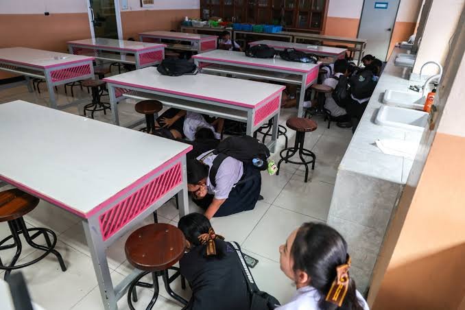
In neighboring areas like Koronadal, South Cotabato, the powerful shaking forced government workers to evacuate city hall buildings, and several students in public schools reportedly fainted out of fear, as documented by local news outlet ABS-CBN.
No Tsunami Threat and Historical Context
Despite the offshore location of the earthquake, authorities quickly confirmed that the tremor did not prompt a tsunami warning, easing fears among coastal communities. The German Research Centre for Geosciences (GFZ) also recorded the event at a 6.3 magnitude but estimated a much shallower depth of 10 kilometers, according to The Times of India.
Seismic Context in the Philippines
(Why the Region is Highly Vulnerable)
↓
The Pacific Ring of Fire
(A horseshoe-shaped zone of intense seismic and volcanic activity)
↓
Tectonic Plate Convergence
(Multiple major tectonic plates collide under the archipelago)
↓
Frequent Tremors
(The Philippines experiences regular moderate-to-severe earthquakes)
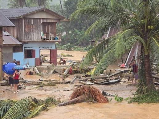
This latest seismic event arrives nearly two months after a deadly earthquake struck the nearby island of Mindanao on June 8, 2026. That earlier disaster tragically killed at least 76 people, triggered widespread landslides, and caused severe structural damage, serving as a grim reminder of the region’s geological vulnerability, as reported by Sharjah24.
| Seismic Indicator | Earthquake Details |
| Magnitude | 6.3 (USGS & GFZ reporting) |
| Epicenter Location | 32 kilometers southwest of Sarangani Island. |
| Time & Depth | Struck at 12:14 p.m. local time; USGS reports 62km depth. |
| Tsunami Warning | None issued; no major casualties immediately reported. |
Sources
- Daily Post Nigeria – 6.3-magnitude earthquake hits Philippines
- The Times of India – Southern Philippines jolted by powerful 6.3-magnitude earthquake
- ABS-CBN – Magnitude 6.4 earthquake hits waters off Sarangani
- Sharjah24 – Magnitude 6.3 earthquake strikes southern Philippines offshore
- Watchers.news – Strong and shallow M6.3 earthquake hits Mindanao, Philippines